Route sections
Wondering what you might come across as you traverse each section of the route? Here's a potted overview of the sections between the checkpoints.
Check out the Gallery page for some images of the scenes and objects you can expect to come across.
Visit our Route Description page for a detailed route description, a list of waypoints and a gpx file, all available to download.
Section 1 Start to CP1, Moseley - Northfield

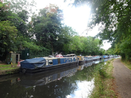
From the start, the route crosses Billesley Common then follows the paths beside Haunch Brook to reach the Stratford-upon-Avon Canal. The towpath takes us to the canal's western end at Kings Norton Junction, where we join the River Rea. We follow the Rea Valley cycle route through Kings Norton Park and Local Nature Reserve and past Wychall Reservoir, before diverting from it to the checkpoint.
Distance 6.3 miles, 10.1 km
Section 2 CP1 to CP2, Northfield - Rubery

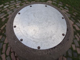
We rejoin the Rea Valley Route through Frankley to its source in the Waseley Hills, ascending Windmill Hill before a gradual descent to Rubery.
Distance 4.6 miles, 7.4 km
Section 3 CP2 to CP3, Rubery - Alvechurch

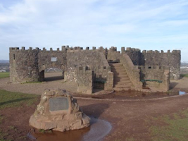
Joining the North Worcestershire Path, the route heads up Beacon Hill to the mock castle at the summit, descending to the road which separates it from the rest of the Lickey Hills. After the ascent of Bilberry Hill, the remainder of the Lickey traverse is along the ridge, over Cofton Hill then down through Lickey Warren to Barnt Green. From there, the route crosses the motorway bridge, then passes through fields and over the Worcester and Birmingham Canal to reach Alvechurch.
Distance 5.5 miles, 8.9 km
Section 4 CP3 to CP4, Alvechurch - Tanworth
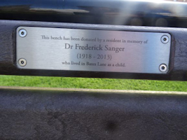
The route ascends gently around Newbourne Hill, passing through the village of Rowney Green and crossing the old Roman road of Icknield Street. We head for the trig point at Hob Hill, then through the racing stables to Carpenters Hill. After reaching the main road at Branson's Cross, we follow the path from Aspley Heath to Tanworth - childhood home of Frederick Sanger, the only person ever to win the Nobel Prize for Chemistry twice.
Distance 6.7 miles, 10.7 km
Section 5 CP4 to CP5, Tanworth - Henley

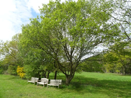
Now in the area covered by the ancient Forest of Arden, the path south from Tanworth passes through Mockley Wood, one of the few parts of it which remain. From Ullenhall, we skirt the golf course to arrive in Henley.
Distance 4.6 miles, 7.5 km
Section 6 CP5 to CP6, Henley - Aston Cantlow

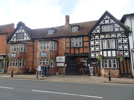
After passing Henley's medieval Guildhall, the route crosses the earthworks which are all that remains of Beaudesert Castle. We join the Stratford Canal, cross Wootton Wawen Aqueduct then follow the River Alne to Aston Cantlow, our first foray into Shakespeare country: St John the Baptist church, opposite the checkpoint, is thought to have been the marriage place of the playwright's parents John Shakespeare and Mary Arden.
Distance 6.7 miles,10.7 km
Section 7 CP6 to CP7, Aston Cantlow - Stratford-upon-Avon
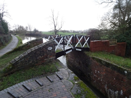
The Shakespeare section! First we reach Wilmcote, the childhood home of Mary Arden, then another stretch along the canal takes us into Stratford where we visit the Bard's birthplace, the site of his last home New Place, his schoolroom and the house of his son-in-law John Hall, arriving at the checkpoint directly opposite his baptism and burial place of Holy Trinity church.
Distance 6.7 miles, 10.8 km
Section 8 CP7 to CP8, Stratford-upon-Avon - Norton Lindsey
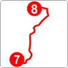
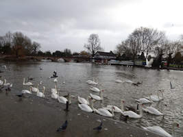
The route follows the Avon out of Stratford, passing the Royal Shakespeare Theatre, then leaves the river and heads into the Welcombe Hills. We pass the Obelisk, descend the hills to Snitterfield then across farmland to Norton Lindsey.
Distance 8.2 miles, 13.2 km
Section 9 CP8 to CP9, Norton Lindsey - Warwick

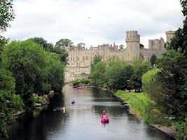
More fields lead to Budbrooke, where we pass through the churchyard and along a short stretch of canal to arrive in Warwick. Across the racecourse then along the High Street, passing the old town gates and Lord Leycester Hospital, to the checkpoint. If you're recceing, St Mary's Church is only a 100m diversion from the route, while a slightly longer diversion takes you onto the Banbury Road bridge with a stunning view of Warwick Castle.
Distance 6.3 miles, 10.2 km
Section 10 CP9 to CP10, Warwick - Kenilworth
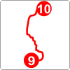
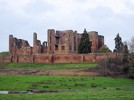
We cross St Nicholas Park then join the Avon again, passing the ruined house of Guys Cliffe and the ancient Saxon Mill. Skirting Leek Wootton, we head north to Kenilworth, past the castle and across Abbey Fields to reach the breakfast stop.
Distance 8 miles, 12.8 km
Section 11 CP10 to CP11, Kenilworth - Coventry
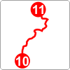
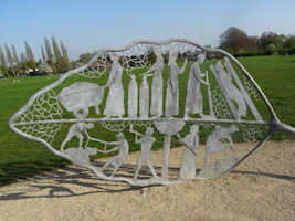
The cycle path takes us to the University of Warwick campus, then through Tocil Wood, Canley Ford and War Memorial Park to Coventry city centre. We pass the city's Three Spires - Christ Church, the Old Cathedral and Holy Trinity - then follow the medieval Spon Street to the checkpoint.
Distance 8.1 miles, 13.1 km
Note that there are road construction works on the approach to the CP11 checkpoint, with frequently changing pedestrian diversions. Take care to follow the local diversion signs.
Section 12 CP11 to CP12, Coventry - Meriden
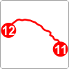
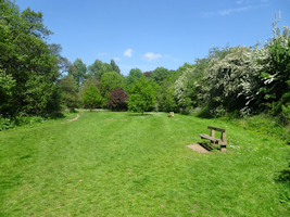
From the centre, the route heads northwest through more of the city's parks, following the course of the River Sherbourne, then heads across farmland to Meriden - traditionally held to be the centre of England.
Distance 6.5 miles, 10.4 km
Section 13 CP12 to CP13, Meriden - Barston
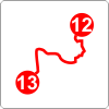
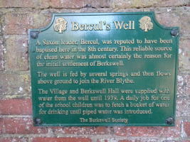
This section takes in parts of a succession of LDPs: firstly A Coventry Way south from Meriden to Berkswell, then the Heart of England Way and Millennium Way. Under the railway line and across the old Packhorse Bridge, we approach Hampton in Arden, but turn south again before reaching the village itself, towards the next checkpoint at Barston.
Distance 7.2 miles, 11.6 km
Section 14 CP13 to CP14, Barston - Solihull
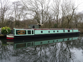
The route heads westwards across fields to join the Grand Union Canal near Knowle then follows the towpath through Catherine de Barnes, diverting from it to the Solihull checkpoint.
Distance 5.9 miles, 9.6 km
Section 15 CP14 to CP15, Solihull - Hay Mills
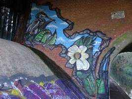
We rejoin the canal and follow it through the eastern suburbs of Birmingham, before leaving it for the last time to reach Hay Mills.
Distance 4 miles, 6.3 km
Section 16 CP15 to Finish, Hay Mills - Moseley
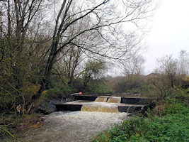
The majority of the last section follows the River Cole footpath south from the canal. In the final mile we turn off it onto Chinn Brook, then retrace our steps along Haunch Brook and across Billesley Common to arrive back at HQ.
Distance 5.5 miles, 8.8 km


